What formats do you deliver?
Typical outputs include GeoTIFF orthomosaics, DSM and DTM, LAS or LAZ point clouds, CAD compatible contours and drawing exports, and PDF reporting.

Maptix provides a complete set of drone and geospatial services that can be combined into a single workflow. Most projects use a mix of mapping, inspections and LiDAR terrain analysis so your team receives exactly the data it needs.
We deliver high precision aerial mapping and surveying for infrastructure corridors, industrial sites and large areas. Our outputs are built to drop into your CAD and GIS tools with minimal rework.
Some locations demand more than standard flights. For archaeological sites, cenotes, caves or other sensitive terrain, we design capture plans that respect access limitations while still delivering the data your team needs.
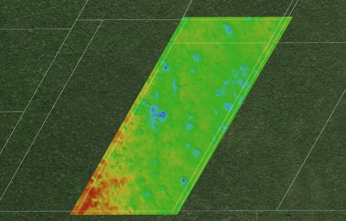
We use drones to perform repeatable inspections on assets that are hard, slow or risky to inspect from the ground. Flights can be carried out by our team or configured so your in house operators can repeat them safely.
Satellite based elevation data provides a quick, cost efficient way to understand terrain before investing in more intensive field work. We use global LiDAR and elevation sources to help you screen options and plan the next steps.