
Active Mining Surveillance
Type: Operations
Ongoing aerial mapping and volume tracking for an open pit mining operation, supporting planning, safety and reconciliation.

Here is a sample of the types of projects we support. Names and details can be adjusted to match your references, but this structure keeps the portfolio simple and easy to scan.
Type: Operations
Ongoing aerial mapping and volume tracking for an open pit mining operation, supporting planning, safety and reconciliation.
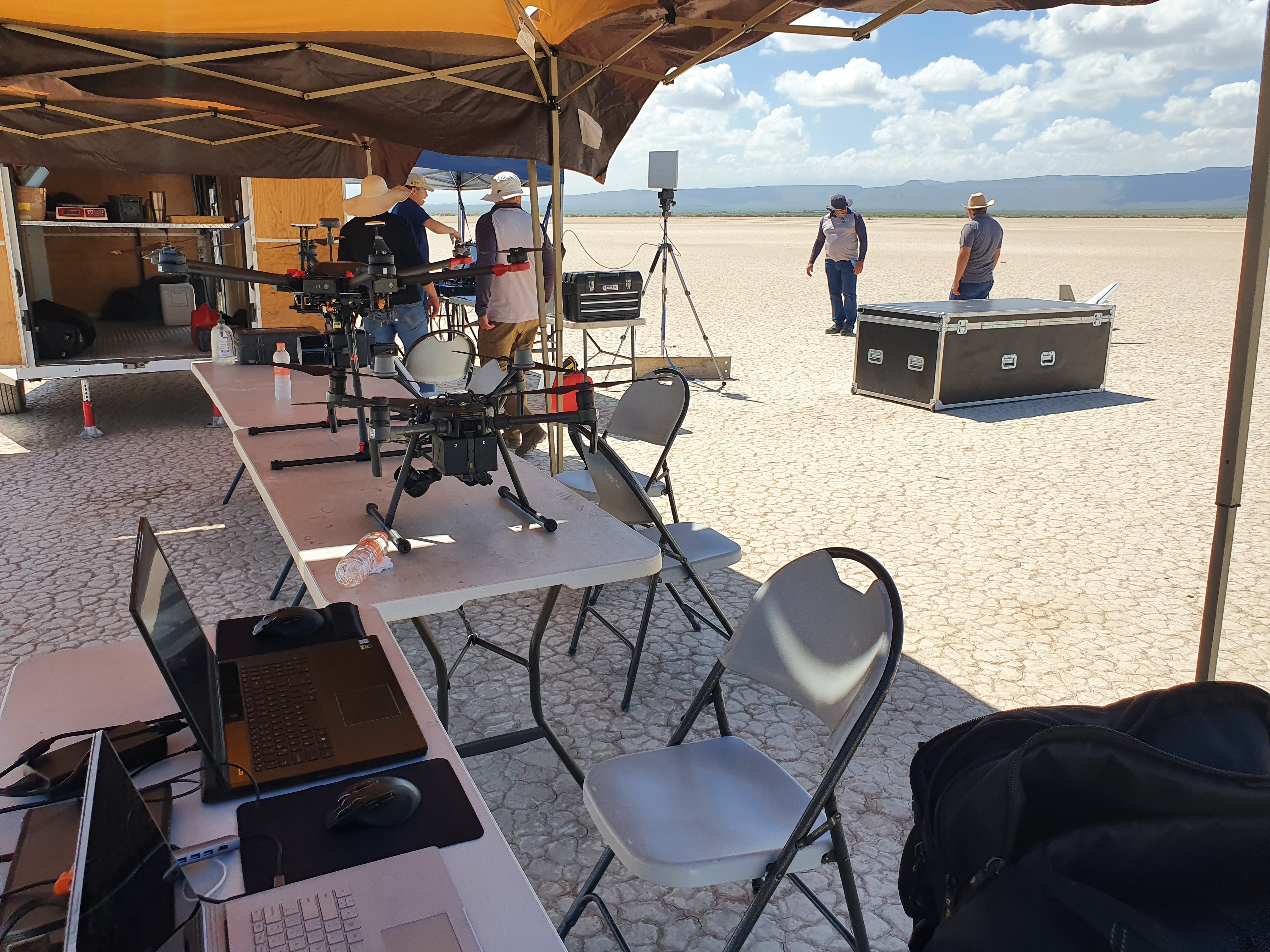
Type: Field work
High resolution mapping and inspection flights over a processing plant to document equipment layout, access and condition.

Type: Terrain
Terrain and vegetation mapping to support an environmental study in a protected area, with minimal on the ground footprint.
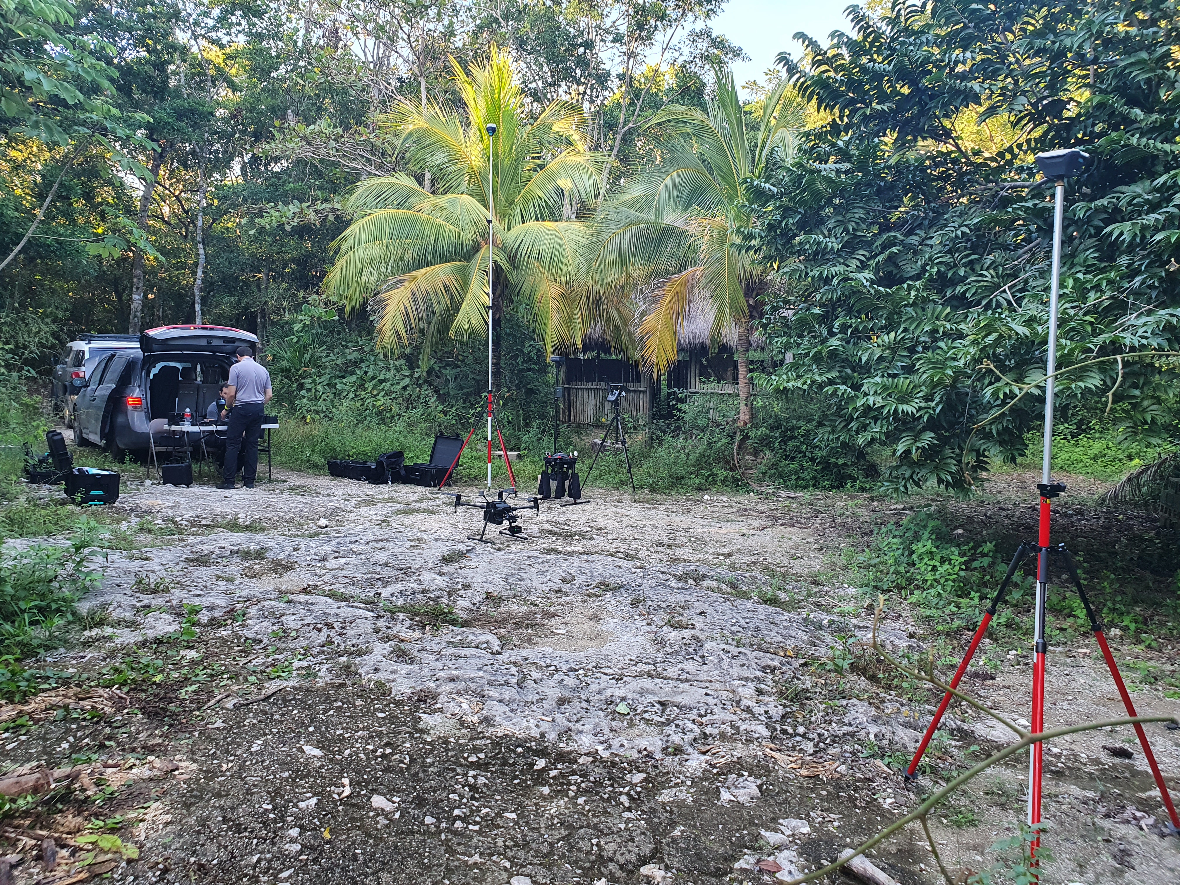
Type: Terrain
Full site mapping and stockpile volumes for a quarry, with repeat surveys to track extraction and remaining capacity.
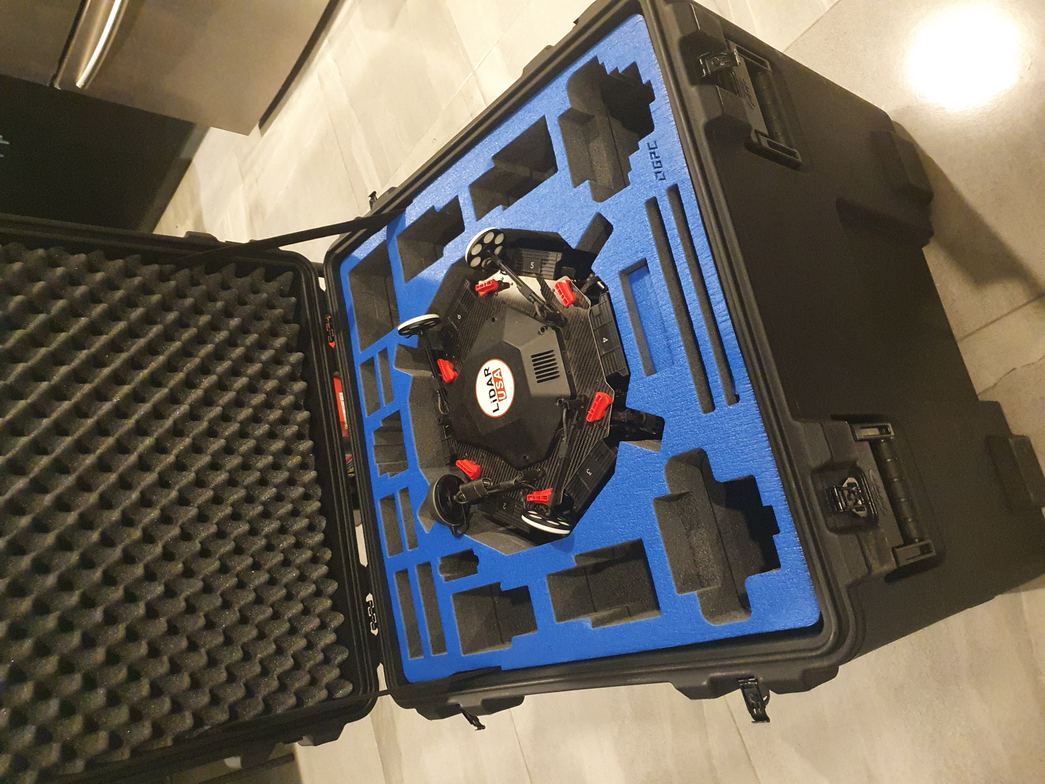
Type: Operations
Visual and thermal inspection of a utility scale solar park, with automated flight plans and repeatable inspections.