Professional Drone Services

Aerial mapping, inspections and LiDAR terrain surveys that give you clear, reliable data for faster decisions.

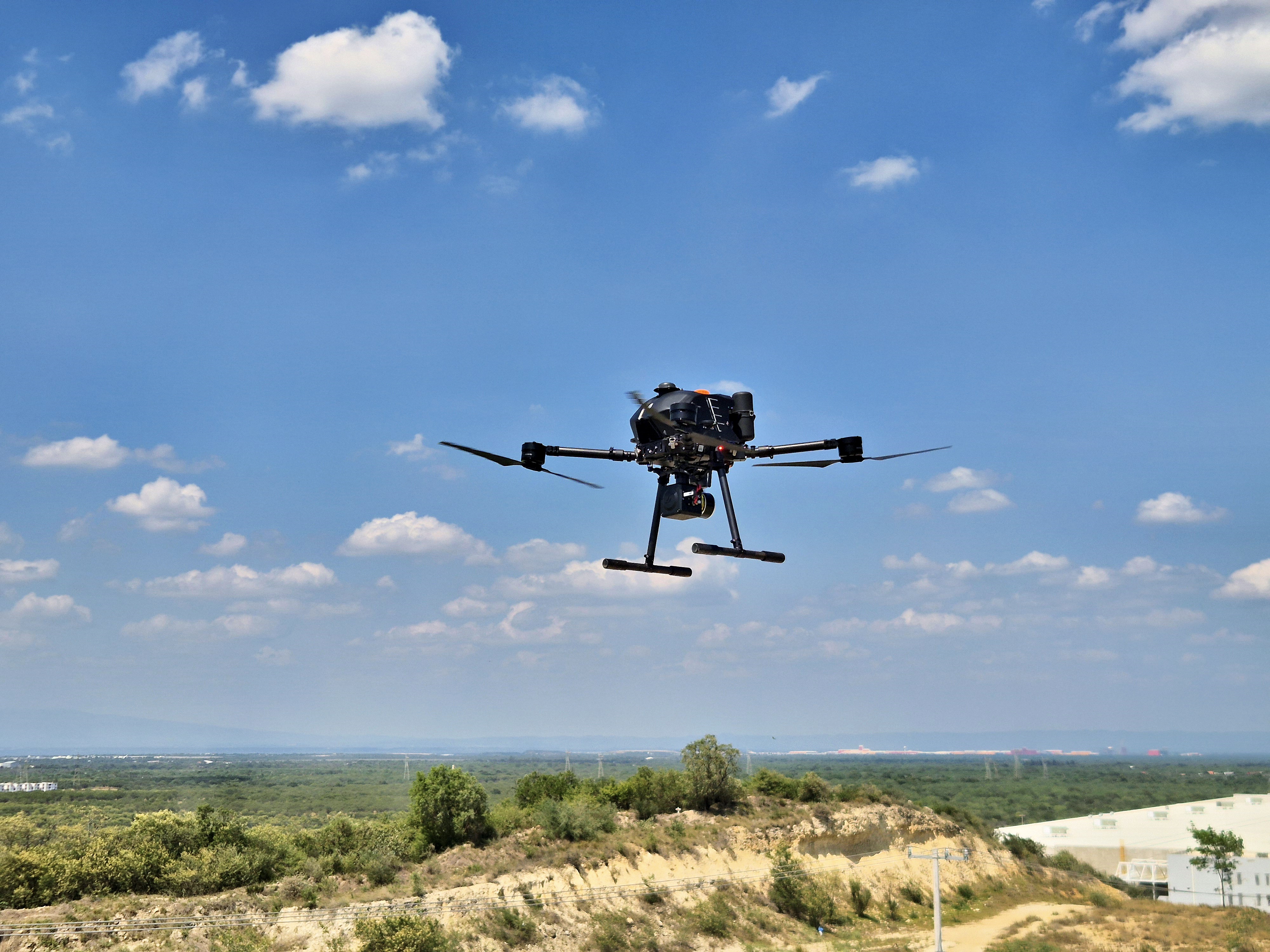
Professional mapping drone in flight over terrain

Trusted by leading organizations

Maptix supports engineering, infrastructure, mining and energy projects with dependable geospatial data. Whether you are planning a corridor, evaluating a site, or monitoring an active operation, our drone and LiDAR workflows are designed to integrate cleanly into your existing CAD and GIS tools.

Client logo 1 Client logo 2 Client logo 3 Client logo 4 Client logo 5

Our services

We combine drones, LiDAR and satellite data to deliver the maps and insights your team needs, without adding complexity to your workflow.

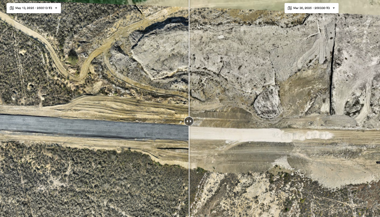
Aerial mapping example

Mapping and Surveying

High accuracy aerial mapping and terrain models for corridors, sites and large areas.

  • Orthomosaics, DSM and DTM
  • Corridor mapping for roads, rail and pipelines
  • Topographic data ready for design and planning

Learn more
Terrain and archaeology survey example

Terrain and Archaeological Surveys

Careful data capture for sensitive or complex terrain such as archaeological sites, cenotes and caves.
  • Non intrusive flight planning
  • High resolution terrain and feature models
  • Deliverables tailored for technical teams and researchers
Learn more
Infrastructure inspection example

Inspection and Infrastructure Services

Repeatable visual and thermal inspections for critical infrastructure and industrial assets.
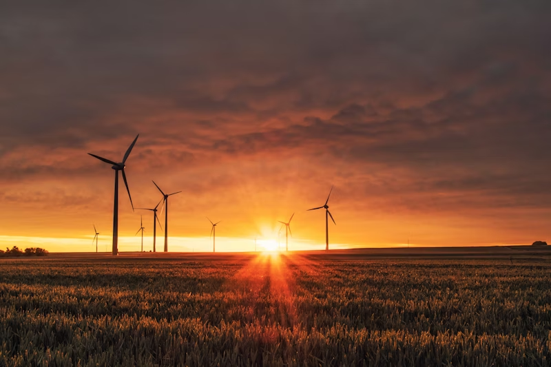
  • Solar, power, and industrial facilities
  • Automated flight plans for consistent images and angles
  • Clear reports that highlight issues, not just images
Learn more
Satellite terrain overview

Satellite LiDAR Terrain Surveys

Fast, cost effective terrain understanding using satellite based elevation data.

  • Large area terrain overview for corridors and sites
  • Early stage route and site comparison
  • Ideal as a first step before detailed drone LiDAR campaigns
Learn more

Industries we serve

Our workflows are designed around real field conditions and regulatory requirements in mining, landfill, real estate, construction and energy projects.

  • Mining and Aggregates
  • Landfill and Waste Management
  • Real Estate and Developments
  • Construction
  • Energy and Utilities

Frequently asked questions

What types of drones do you use?

We use professional multirotor and fixed wing platforms with RGB, thermal and LiDAR payloads, selected according to each project requirements and regulations.

How quickly can I get my data?

Turnaround time depends on project size and deliverables, but many standard mapping or inspection projects are delivered within a few working days after capture.

Are your operations compliant with regulations?

Yes. Flights follow the relevant local aviation rules, with proper permissions, flight planning, checklists and documented procedures.

Ready to talk about your project?

Send us a short description of your corridor, site or inspection requirements, and we will propose a practical capture and deliverable plan tailored to your constraints.

Contact Maptix