
Mapping and Surveying
High accuracy aerial mapping and terrain models for corridors, sites and large areas.
- Orthomosaics, DSM and DTM
- Corridor mapping for roads, rail and pipelines
- Topographic data ready for design and planning

Aerial mapping, inspections and LiDAR terrain surveys that give you clear, reliable data for faster decisions.
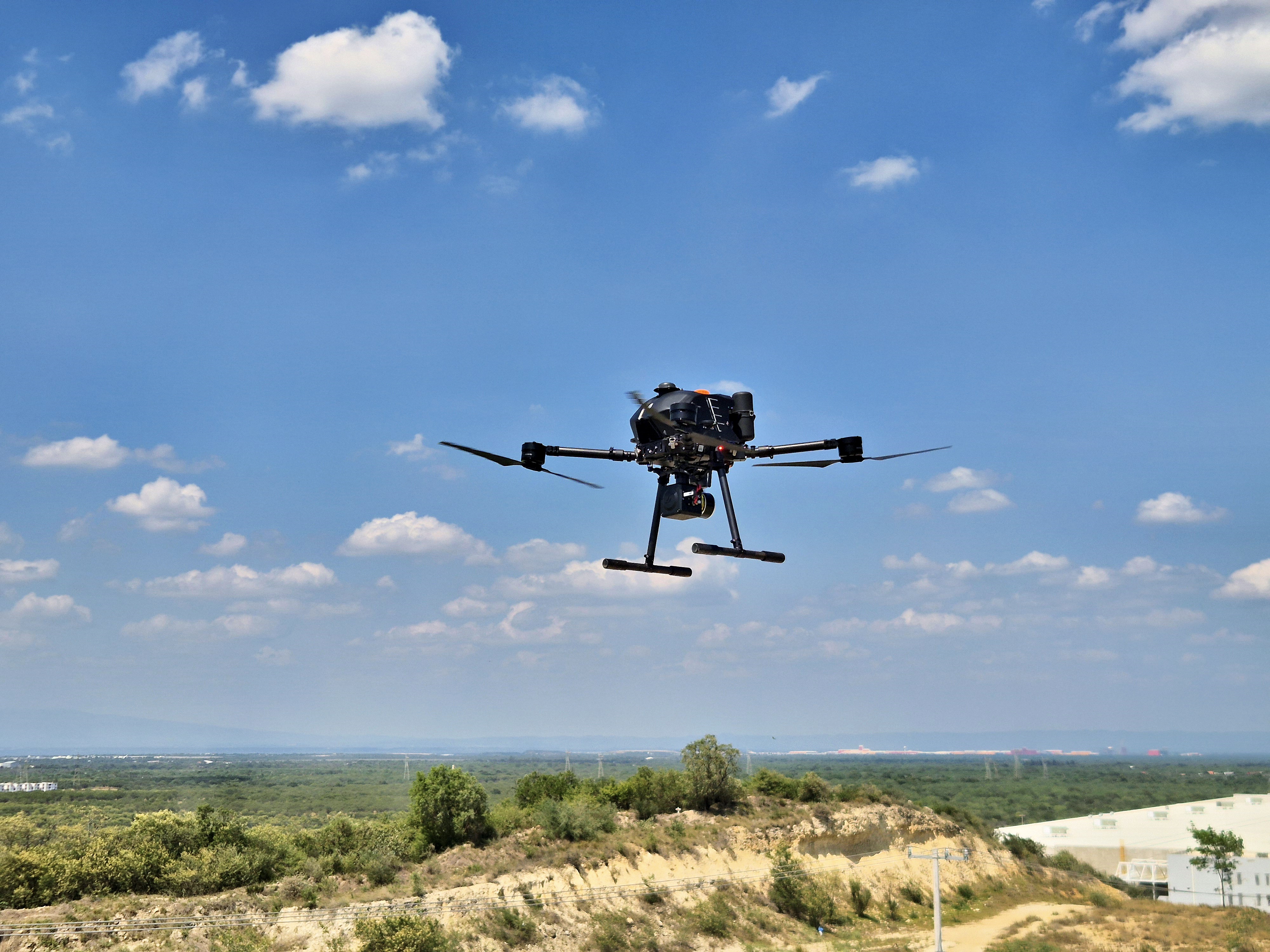
Maptix supports engineering, infrastructure, mining and energy projects with dependable geospatial data. Whether you are planning a corridor, evaluating a site, or monitoring an active operation, our drone and LiDAR workflows are designed to integrate cleanly into your existing CAD and GIS tools.





We combine drones, LiDAR and satellite data to deliver the maps and insights your team needs, without adding complexity to your workflow.
High accuracy aerial mapping and terrain models for corridors, sites and large areas.

Careful data capture for sensitive or complex terrain such as archaeological sites, cenotes and caves.

Repeatable visual and thermal inspections for critical infrastructure and industrial assets.
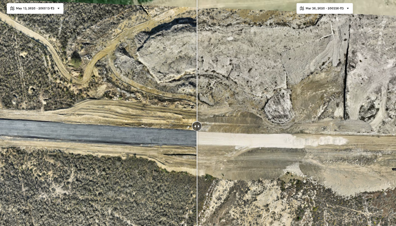
Fast, cost effective terrain understanding using satellite based elevation data.
Our workflows are designed around real field conditions and regulatory requirements in mining, landfill, real estate, construction and energy projects.
Send us a short description of your corridor, site or inspection requirements, and we will propose a practical capture and deliverable plan tailored to your constraints.